
Identify Gloucester County Neighbor Sources
A block lookup in Gloucester County should distinguish parcel facts from evidence about a person. County Maps and the GIS viewer locate the surrounding parcels. Local assessment material can identify the owner of record and a tax-mail recipient when displayed. Land records document conveyances. Historic directories and maps offer period clues. New Jersey election information has its own statutory release rules and should never be recast as a current neighborhood roster. The table shows which question each source can answer without assigning it a broader role.
| Source | What It Shows About a Block | Access |
|---|---|---|
| County Maps / County GIS | Parcel locations around an address, map context, and block/lot identifiers | Official county map and GIS routes online; geometry is not a survey |
| Municipal assessor / Property Record Cards | Owner, situs, mailing address, and assessment information only when the live card displays it | Local assessor through the county Property Record Cards route |
| Gloucester Land Records | Recorded conveyance parties, legal descriptions, and document history for a parcel | Online Land Records Search and the Clerk / Record Room |
| Election custodians | Registration-status help and statutory voter-list routes in their authorized form | Official state route and county election offices, subject to release limits |
| GCHS and historical holdings | Past street listings, road names, tracts, maps, and local historical context | Gloucester County Historical Society, Record Room, and holding repositories |
The same nearby parcel may point to an owner, a deed party, a historic directory resident, or an organization address. Keep those labels intact. They are not interchangeable evidence about Gloucester County neighbors.
Map Gloucester County Neighbor Parcels
Begin with one normalized street address and locate its legal municipality, block, lot, and map page. The County Maps and tax-map search supports address, owner, street, block, and lot searches. Compare the result with the NJGIN Property Explorer, which accepts address, county, municipality, block, and lot. Map geometry can have edge mismatches, so the identifier is more durable than the outline.
Process flow: street address → municipality and block/lot → subject parcel on County Maps → directly adjoining parcel identifiers → local assessment evidence → deed records for each selected parcel. This is a parcel-by-parcel method, not a way to compile a list of residents.
Use the county viewer to orient the block, then click only the parcels needed for the question. Save the parcel ID, map date, source URL, and any redaction indicator. The county GIS route is linked from Gloucester County GIS; its Planning Division/GIS contact is at 1200 North Delsea Drive in Clayton.
The County GIS page is captured below as the official route into the county's mapping resources.
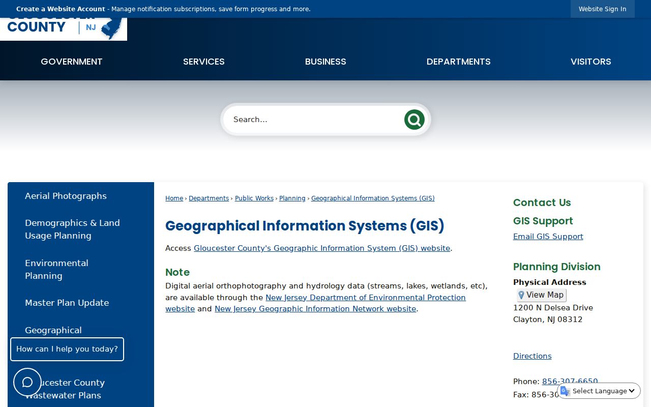
The viewer helps compare parcel relationships, but a survey and the recorded material govern a legal boundary.
Note: Preserve the unit or parcel qualifier because a base street address can cover more than one relevant property.
Separate Gloucester County Neighbor Roles
The assessment route needs careful reading. A parcel has a situs address, the physical location of the property, and it may have a different mailing address for the tax bill. A nonlocal mailing recipient is not necessarily a person living beside the subject parcel. The county's Property Record Cards page links to the current MSNJ service, but the accessible research did not expose its complete live field set, coverage dates, or all card labels.
Capture only what the current card displays. Useful fields can include owner or location, block and lot, annual land and building assessment, prior taxes, property class, tax year, physical details, and a shown map or deed reference. Owner names in hosted NJGIN data are redacted under Daniel's Law, so use the county or municipal assessor for owner and assessment evidence rather than assuming the statewide parcel layer will supply it.
A parcel is a tax-map unit. A situs is its physical address. A mailing address is where a tax bill goes. Keeping those three labels separate prevents a property result from being turned into a claim about neighbors' occupancy.
Read Gloucester County Neighbor Deeds
A recorded deed is useful after a nearby parcel has been identified. In the Gloucester Land Records Search, Recorded Land provides Name Search, Recorder Date Search, Document Search, and Volume Search. Capture the displayed grantor, grantee, instrument type, recording date, document number or book/page, and legal description. Check that description against the block, lot, and municipality before following a prior grantor backward.
The computer index is not a complete electronic archive of every county record. Deeds are listed from 1959 to current, mortgages from 1967 to current, and assignments from 1987 to current. Earlier deeds and related material can require the Gloucester County Clerk / Record Room, paper books, microfilm, or historical holdings. Search spelling variants, and do not treat an unavailable image as proof that no instrument exists because Daniel's Law can restrict images or physical pages.
Mortgage, discharge, release, and lis pendens records add context to a parcel history. They do not prove who lives on the block. For a whole named street rather than the immediate parcels, the Gloucester County street directory follows the longer address-record chain.
Use Gloucester County Community Routes
Community information is best gathered through public institutions and published public contact methods, not inferred membership. The County Resource Directory provides Category, Name, and alphabetical or All navigation. At inspection it reported 455 results. Use a category to find an organization, public facility, meeting place, or service organization, then retain only the displayed public contact details and source date.
| Public route | Useful action | Boundary to keep |
|---|---|---|
| County Resource Directory | Search category or name for a public organization and record its posted contact information | An organization listing is not a resident roster or membership list |
| Municipal clerk, planning, and zoning pages | Check public agendas, minutes, boards, and notices for a specific location or civic issue | Use the legal municipality, not only a postal place name |
| County library and GCHS | Ask about newspapers, maps, directories, or historic place names | Holding and access vary; an old reference does not prove a current affiliation |
| OPRA custodian | Request one existing, identified public record that a custodian holds | OPRA does not require creation of a new community or people list |
No countywide official HOA or neighborhood-association directory was located. For a specific subdivision or civic group, check its municipality's official pages, planning material, meeting packets, and Resource Directory categories. Treat a roster as private unless the responsible custodian clearly publishes it.
Compare Gloucester County Neighbor Sources
Official records and commercial neighbor tools serve different roles. County maps, assessors, and the Clerk identify their custodian and record type. A commercial category may combine data from many sources, can be stale, and can confuse people with the same name. Use the official record for confirmation and use the category, if considered at all, only as a prompt to check the proper custodian.
| Official record path | Commercial tool category | Practical reading |
|---|---|---|
| Shows a particular map, tax, or recorded-land source with its date and jurisdiction | May combine public and nonpublic data without a visible source trail | Confirm any lead against the identified county or state custodian |
| Can show redaction, image limits, and a correction route | Can contain stale addresses and same-name collisions | Do not treat a compiled result as proof of residence, family, or current contact details |
If a source record has an error, contact the office that keeps it. A correction request belongs with that custodian; an OPRA request may obtain an existing record but does not necessarily require an agency to alter historical material.
Read Gloucester County Historical Blocks
Older neighborhood clues often start with a tract or road rather than a modern address. The Gloucester County Historical Society holds maps, newspapers, directories, private property surveys, and local collections. The 1876 Everts & Stewart atlas records property owners and sketches tracts. GCHS describes private surveys that can show adjacent properties, waterways, schools, churches, landmarks, and building footprints, with Every-Name and Place indexes.
Pair an atlas or survey with a deed legal description, road survey, or later street map. County historical holdings also include road petitions, commissioners' reports, road records, and road surveys that can explain a vanished road or changed route. A petitioner or a map label is a historical clue, not confirmation that a named person lived at the location.
Note: Record the map year, repository, source date, and original place spelling before comparing an old block with current parcels.
Track Gloucester County Map Updates
NJGIN retired a mature-support hosted parcel service in March 2026, reported an April 2026 refresh including Gloucester County, and announced an August 2026 Gloucester geometry update. County material also listed a May 2026 shared GIS and public-tax-map viewer support contract. A parcel line can therefore move between captures even when the block and lot remain the same.
Save the map layer date and block/lot with every nearby-parcel note. The online outline is useful for orientation, but it is not a survey or final boundary decision.
Protect Gloucester County Neighbors
Public availability does not permit unrestricted republication. OPRA guidance recognizes exemptions and redactions for personal, proprietary, investigatory, victim, juvenile, domestic-violence, and medical-examiner information. The New Jersey Address Confidentiality Program provides a substitute address for eligible participants' future agency interactions, while Daniel's Law can suppress covered home addresses and images in government internet records. Call a result redacted or protected when that is what the source shows.
Do not infer family, health, financial, or occupancy facts from a name hit. For an immediate safety concern, contact local law enforcement or 911. For a record problem, contact the custodian and preserve the original source date.