
Gloucester County ZIP Code Directory Coverage
ZIP codes are postal delivery areas, not municipal lines, county borders, election districts, or parcel boundaries. The County municipal guide associates the postal places below with Gloucester County use. Its list is a starting table, not a promise that every address in a ZIP is inside the county. Use the USPS ZIP Lookup to check a particular street address, especially where the research flags partial or area-only associations.
| ZIP | Areas covered | Post office / postal place | Notes |
|---|---|---|---|
| 08012 | Sections of Grenloch and Sicklerville | Blackwood | Largely Camden County; border and partial coverage |
| 08014 | Logan | Bridgeport | Verify street address |
| 08020 | East Greenwich | Clarksboro | Postal place differs from municipality |
| 08025 | Logan / area use | Ewan | PO Box or area use; verify address |
| 08027 | Greenwich | Gibbstown | Municipality association is Greenwich |
| 08028 | Glassboro | Glassboro | Address-level confirmation still controls |
| 08032 | Partial Deptford and Monroe-area use | Grenloch | Verify the actual address |
| 08039 | South Harrison | Harrisonville | Postal-place label |
| 08051 | Mantua | Mantua | Municipality-associated ZIP |
| 08056 | East Greenwich | Mickleton | Postal place differs from municipality |
| 08061 | East Greenwich / area use | Mount Royal | Verify street address |
| 08062 | Harrison | Mullica Hill | Postal place differs from municipality |
| 08063 | National Park | National Park | Municipality-associated ZIP |
| 08066 | Paulsboro | Paulsboro | Municipality-associated ZIP |
| 08071 | Pitman | Pitman | Municipality-associated ZIP |
| 08074 | Area use | Richwood | PO Box or area use; verify municipality |
| 08080 | Washington and parts of Mantua / Deptford | Sewell | Crosses municipality lines |
| 08081 | Partial Monroe border area | Sicklerville | Mostly Camden County |
| 08085 | Swedesboro and Woolwich | Swedesboro | Shared postal place and ZIP |
| 08086 | West Deptford | Thorofare | Postal place differs from municipality |
| 08090 | Wenonah | Wenonah | Municipality-associated ZIP |
| 08093 | Westville | Westville | Municipality-associated ZIP |
| 08094 | Monroe | Williamstown | Postal place differs from municipality |
| 08096 | Woodbury and nearby postal-service area | Woodbury | Do not assume city limits |
| 08097 | Woodbury Heights | Woodbury Heights | Municipality-associated ZIP |
| 08312 | Clayton | Clayton | Municipality-associated ZIP |
| 08322 | Franklin | Franklinville | Postal place differs from municipality |
| 08328 | Franklin / southern association | Malaga | Verify the municipality |
| 08343 | Elk | Monroeville | Postal place differs from municipality |
| 08344 | Newfield | Newfield | Municipality-associated ZIP |
| 08360 | Partial Elk / southern county association | Vineland | Verify street and county |
Postal places such as Mullica Hill, Mickleton, and Thorofare are useful wayfinding labels, while Harrison, East Greenwich, and West Deptford are the legal municipalities used for many local-government records. Keep both fields in a ZIP code directory search.
Gloucester County ZIP Code Postal Search
USPS is the dedicated ZIP tool for a specific address. It offers By Address, By City and State, and Cities by ZIP modes. The address route normalizes the delivery address first. It does not identify a person or a company at that address, and a multiple-match result should be narrowed with any unit information. Preserve the returned ZIP+4 and carrier route only as postal fields, separate from the legal municipality and parcel data.
| USPS address field | Input status | Use in the search |
|---|---|---|
| Company | Optional | Optional delivery-line detail |
| Street Address | Required | Primary address lookup field |
| Apt / Suite / Other | Optional | Narrows a multi-unit address |
| City | Required | Postal city supplied with the address |
| State | Required | State for the delivery address |
| ZIP | Optional | Extra narrowing when already known |
The USPS lookup service is the authority for current postal delivery data. It can return a ZIP+4 or route information when applicable. Treat that output as a current postal result, then document its lookup date because postal arrangements can change.
Gloucester County ZIP Code Directory Workflow
A ZIP code does not produce a countywide resident roster. The next move is to convert postal geography into local-government and parcel geography. County Maps accepts address, owner, street, and block-and-lot searches rather than a ZIP-first search. NJGIN Property Explorer accepts address, county, municipality, block, and lot. The state voter-status tool, court search, and land-record portal each use their own fields. Use the ZIP to choose the first address check, not as a claim that an entire area can be searched by occupant.
- Use USPS with the street address, city, state, and unit where needed. Save the postal city, ZIP, and ZIP+4 if returned.
- Identify the legal Gloucester County municipality from the address, not from the postal label alone.
- Search County Maps by address to capture the block, lot, map page, and any owner result shown.
- Compare the parcel with the municipal assessor or the county’s Property Record Card route. Keep situs and mailing address as separate fields.
- Use the resulting block and lot in a deed, Tax Court, or local records search only when that record type calls for it.
Once a ZIP narrows the work to a named street, the Gloucester County by-street directory provides the address-keyed parcel and land-record sequence.
Gloucester County ZIP Code Map Translation
Parcel research begins after the postal check. The official County tax-map page connects the municipal map route and County Maps search. Capture municipality, block, lot, and map page before trying to connect an address to an assessor card or recorded instrument. A condominium or multi-parcel address can require a qualifier or unit, so the base street number may not be enough.
The Gloucester County tax-map search shows the official route into this part of a ZIP code directory workflow.
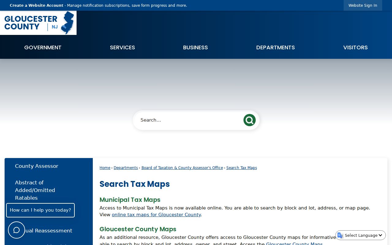
The map can orient an address to its parcel reference, but its geometry is not a survey or a legal boundary decision.
NJGIN Property Explorer searches by address, county, municipality, block, and lot and aligns a parcel PIN with PAMS.
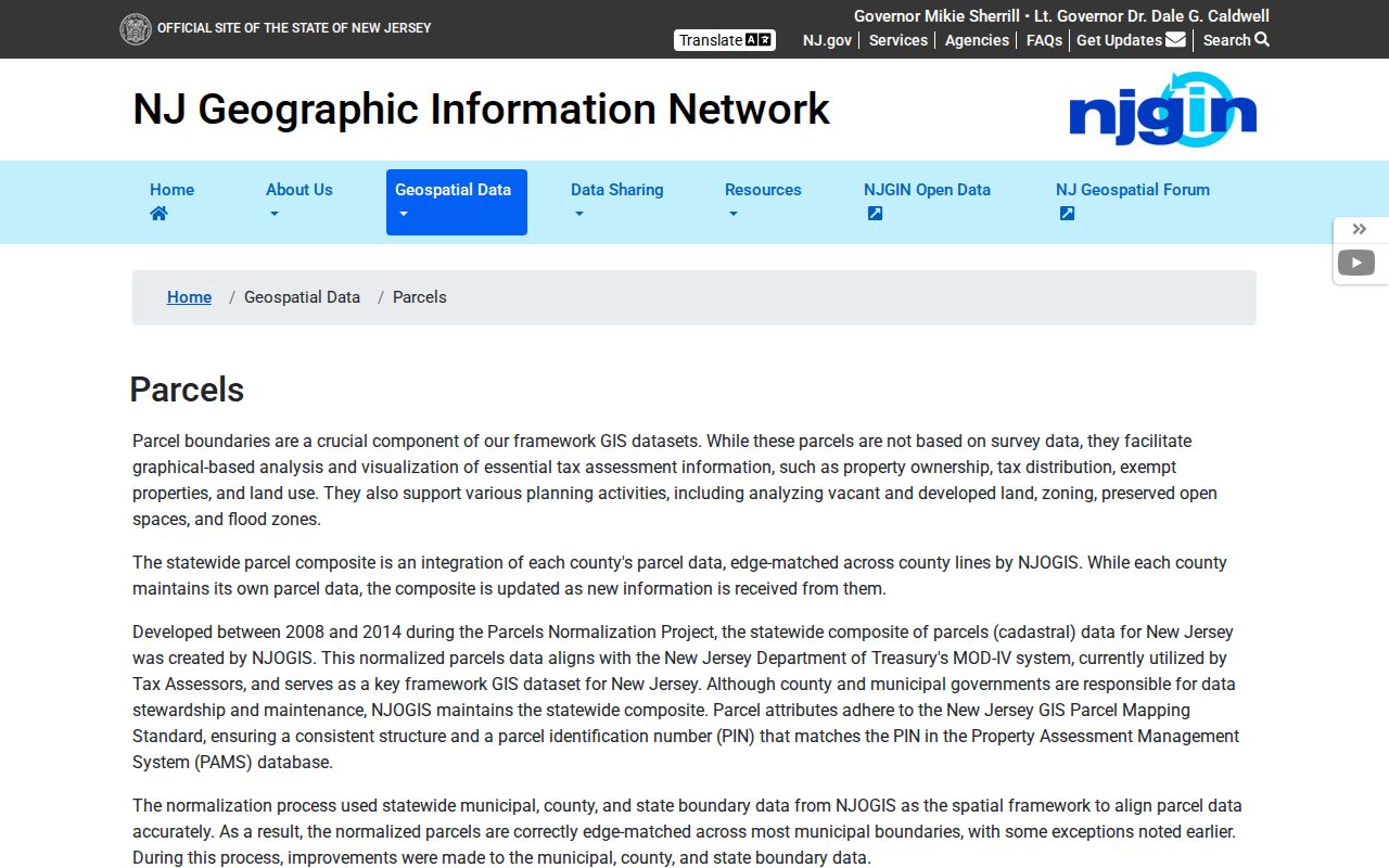
Its hosted data can redact owner names under Daniel’s Law, and county or municipal stewardship can produce edge mismatches. Use the municipal assessor for owner and assessment evidence.
Note: Save the postal result, legal municipality, block, lot, and map source separately because each field answers a different question.
Gloucester County ZIP Code Directory Myth
The common mistake is treating a postal city as a legal city. ZIP 08085 serves both Swedesboro and Woolwich. ZIP 08080 reaches Washington and parts of Mantua and Deptford. Woodbury’s 08096 postal area can reach addresses outside Woodbury. Some southern 083xx associations and PO Box or area ZIPs need an address-level check. Those are normal postal arrangements, not errors in a record.
Another easy trap is the word “Gloucester.” Gloucester City and Gloucester Township are in Camden County, not Gloucester County. A search that stores only the word Gloucester can pull a wrong county result. Record county, legal municipality, postal city, original source wording, and the date of the lookup. This boundary myth matters most when matching an old mailing label to a current parcel.
Boundary check. A ZIP code can guide an address search, but it cannot establish a municipal boundary, a parcel boundary, or a person’s presence at the address.
Gloucester County ZIP Code Search Limits
When a ZIP route reaches a dead end, use the appropriate custodian rather than widening the guess. For property evidence, the municipal assessor and County Maps are the first local channels. Gloucester County GIS links to the ArcGIS viewer, and NJGIN provides a statewide comparison layer. The current Property Record Card service’s full live field set was not available in the research, so do not assume it offers ZIP, owner, or address filters until the rendered service confirms them.
For an existing county record not available online, make a narrow written request to the right custodian under the New Jersey Open Public Records Act, N.J.S.A. 47:1A-1 et seq. Describe the address, municipality, block and lot, record type, and date range. Ask for a segregable redacted copy when needed. OPRA does not require a county office to create a ZIP-wide list or reveal protected information.
Gloucester County ZIP Code History Checks
A present USPS result cannot tell you which ZIP applied to a 1940 directory entry. Preserve the old address, directory spelling, road name, and map notation as historical fields. Add a current ZIP only as a labeled modern cross-reference. Do not rewrite a historical postal place into a modern municipal name without noting that change, because the original source may use an old township, rural route, or broader Gloucester label.
Where an old address does not map cleanly, compare the entry with a tax-map edition, deed legal description, historical survey, or the County Record Room’s road records. The research identifies road petitions, road commissioners’ reports, road records, and surveys among the county’s historical holdings. A legal description can outlast a changed street number, while a map and its year can explain how an address was being used at the time.
Gloucester County ZIP Code Boundaries
Use these terms consistently when saving results from the Gloucester County ZIP code directory. Postal data, municipal jurisdiction, and parcel identifiers belong in separate fields so a later reader can retrace why a specific source was chosen.
- ZIP versus ZIP+4
- A ZIP is the basic postal delivery area. ZIP+4 adds a more specific delivery segment and does not change the legal municipality.
- PO Box ZIP
- A ZIP associated with post-office boxes or area use. It is not a physical situs address.
- Unique ZIP
- A ZIP assigned to a single delivery arrangement or organization. The research does not identify a Gloucester County unique ZIP, so do not assume one from a label.
- Carrier route
- A postal delivery grouping that can help describe mail handling. It is not a neighborhood or parcel boundary.
Note: A strong record trail preserves raw and normalized postal data alongside the municipality, parcel reference, source URL, and access date.