
Trace Gloucester County Street Results
A useful street directory trail begins with the address exactly as it appears on mail, a tax bill, or a deed. Postal information can help normalize the spelling and unit, but it does not establish occupancy. County Maps then ties an address to its municipality, block, lot, map page, and sometimes the owner result. That parcel identity is the bridge to the local assessor, the Gloucester County Clerk / Record Room, and historical material. Treat each return as evidence of a role, such as owner, grantee, tax recipient, or past directory entry, rather than as a complete list of residents.
- Use the USPS ZIP Lookup to check street, city, state, and unit formatting. Save the normalized address, but do not treat the postal response as proof that someone occupies it.
- Run the address in County Maps and tax-map search. Record the legal municipality, block, lot, and map page before opening other records.
- Check the municipal assessor route through Property Record Cards for the current assessment record. Keep the situs and mailing address in separate notes.
- Use the owner name, document clues, or volume history in the Gloucester Land Records Search to trace deeds from the present conveyance backward.
- Use the official voter route only for the authorized purpose, then use a historical address directory for the period it actually covers.
Ownership is not occupancy, and a voter or directory item is not a deed. The value of the sequence is that it exposes those differences before a name is carried from one record type to another.
Note: Save the original address and every variant because a unit, postal label, or historical number can change the search result.
Normalize Gloucester County Street Addresses
Street research in Gloucester County has both a postal and a legal-geography step. USPS address mode uses a required street address and city and state, with an optional apartment, suite, other unit, and ZIP. County records then need the municipality that actually assesses the parcel. Do not let a ZIP make that decision by itself. For example, 08085 serves both Swedesboro and Woolwich, and 08096 can serve addresses beyond Woodbury. Gloucester City and Gloucester Township are in Camden County, another reason to record the county rather than rely on a place name alone.
For a condominium, multi-parcel address, rural route, or old listing, preserve the unit or qualifier with the raw address. A base street address can return a parcel while leaving the relevant unit unresolved. The correct result file should keep the raw address, normalized address, municipality, ZIP, block, lot, qualifier, source, and access date together.
Search Gloucester County Parcel Maps
County Maps and the statewide NJGIN Property Explorer serve different parts of a street directory search. The county route offers address, owner, street, block, and lot searching, and its tax-map links can lead to the municipal map page. NJGIN is useful when the county and municipality are known or when a block and lot need a statewide parcel check. Its parcel PIN aligns with PAMS, but its geometry is a mapping aid, not a legal boundary, and hosted owner names are redacted under Daniel's Law.
| Map source | Documented search fields | Street-directory use |
|---|---|---|
| County Maps / tax maps | Address, owner, street, block, lot | Match a street address to the municipality, parcel identifiers, map page, and any displayed owner result. |
| NJGIN Property Explorer | Address, county, municipality, block, lot | Compare the parcel location and PIN across the statewide layer before using local assessment or deed records. |
Start on the official County Maps page, then compare the identifiers in NJGIN Property Explorer. A mismatch can reflect a map refresh, an edge condition, or a different municipality. It is a signal to verify, not a reason to guess.
Review Gloucester County Property Cards
The county's Property Record Cards page links to MSNJ for the current service. Assessment is local: municipal assessors assess property annually, while the county Board of Taxation supervises assessors and compiles county-level material. The accessible county page did not expose a reliable complete set of current MSNJ search fields or all result-card labels. Test the live service before assuming that a field or date range is available.
When a card displays them, record the owner or location, block and lot, land and building assessment, prior taxes, property class, tax year, and any shown physical details. Add a mailing address, situs, parcel PIN, deed reference, or map link only when the current card actually shows it. This avoids turning an expected card schema into a claim about a parcel.
- Parcel
- A tax-map unit identified through municipality, block, lot, and sometimes a parcel PIN.
- Situs address
- The physical address of the parcel. It can differ from the address where a tax bill is sent.
- Plat
- A filed map that depicts lots or boundaries. A web map assists research, but it does not replace the controlling survey or recorded record.
- Criss-cross directory
- A reverse directory arranged by street and number, used to test a historical address against that edition's name listings.
The MSNJ Property Record Cards service is shown in the captured official destination below. The screen is a reminder to confirm live controls before relying on a field that research could not fully document.
Use the county link as the entry point, then preserve the local assessor and tax year behind any property-card result.
Follow Gloucester County Street Deeds
Once the block and lot identify the parcel, the Land Records portal can trace a conveyance chain. Its Recorded Land area separates Name Search, Recorder Date Search, Document Search, and Volume Search. Trade Names, UCC, and Maps use their own areas. Start with the present owner or a known document, capture the grantor and grantee, instrument type, recording date, document number or book/page, and legal description, then use the prior grantor to move backward. Check block, lot, and municipality at each turn because a street number can change while the legal description continues.
Computer indexing is series-specific. Deeds are listed from 1959 to current, mortgages from 1967 to current, assignments from 1987 to current, discharges and releases from 1992 to current, and recorded lis pendens from 1987 to current. Earlier material may require paper books, microfilm, the Genealogy Room, or historical-deposit research. The public portal also advises trying spelling variations. An absent image can be a Daniel's Law restriction rather than evidence that an instrument never existed.
The County Land Records page introduces the Clerk's land-record route and its privacy and alert information.
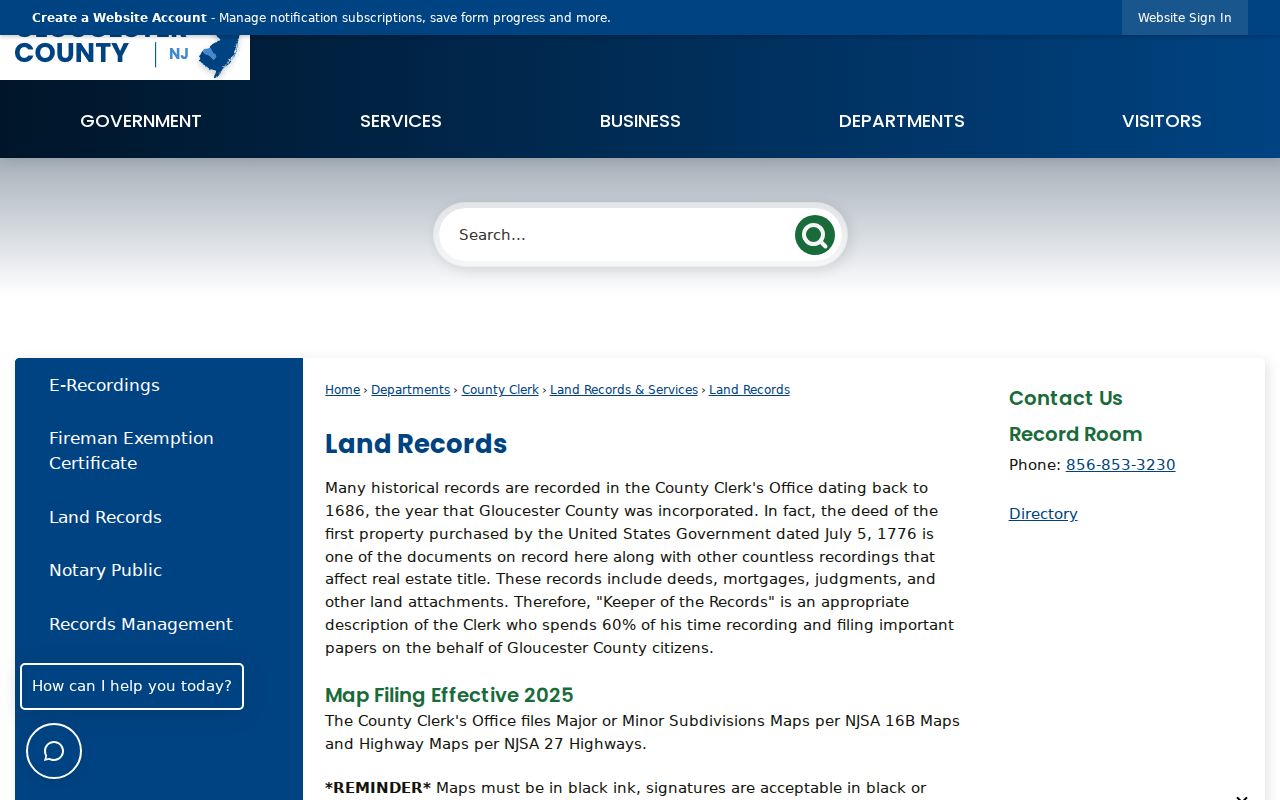
For older deeds, contact the Gloucester County Clerk / Record Room rather than treating the online date range as the beginning of the county's land history.
Gloucester County Street Record Coverage
Different address records answer different questions. The table keeps the keeper, coverage, and limitation visible so a Gloucester County street directory result is not overstated. The municipal assessor is the local route for tax-card evidence, the Clerk / Record Room is the land-instrument route, the state election and county election offices handle their own registration and list rules, and GCHS is the historical shelf.
| Address source | What it can show | Custodian and access | Important limit |
|---|---|---|---|
| County Maps / tax maps | Street, address, owner result if shown, block, lot, map page | County Maps online and municipal tax-map links | Current mapping aid, not a survey or occupancy proof |
| Municipal assessor / PRC | Situs, mailing address, owner and assessment details if displayed | Municipal assessor through the county PRC route | Mailing recipient is not necessarily the occupant |
| Recorded deeds | Conveyance parties, date, document history, legal description | Gloucester County Clerk / Record Room and Land Records portal | Deed computer index begins by series, not with all county history |
| Election records | Registration status or statutory public-list material in its authorized form | New Jersey voter status route and county election custodians | Do not treat it as a current resident roster or voting record |
| Historic directories and maps | Period address listings, roads, tracts, and past household clues | GCHS, Record Room, and other holding repositories | Coverage depends on edition, place, and year |
For a public voter-file request, New Jersey law describes an electronic list route for a voter through the commissioner of registration, subject to the stated reproduction-cost limit, and a separate annual-list route for a state party chairman. The released material has statutory limits, including Daniel's Law address protection. The online registration-status check is not a block-by-block household search.
Note: Label every name by its source role, because an owner, grantee, tax recipient, and historical resident are not interchangeable.
Use Gloucester County Historic Streets
When the street directory trail reaches an older address, switch from a modern map to the edition that fits the period. The Gloucester County Historical Society holds city directories, telephone books, maps, newspapers, private property surveys, and family files. Its directory holdings include the 1875 Salem and Gloucester Directory, Boyd's Salem and Gloucester County editions for 1897 through 1904, and the 1913 Farm Journal Directory of Gloucester County. Later local and telephone directory holdings vary by reel and repository.
The 1876 Everts & Stewart atlas is especially useful because it sketches tracts and names property owners. Pair an atlas label with a legal description, road survey, later map, or deed before carrying it into a title trail. GCHS also describes private surveys with adjacent properties, waterways, schools, churches, landmarks, and building footprints. Those sources offer historical context, not automatic proof of a modern owner or resident.
For reverse or criss-cross work, begin in the address section for the right year, record each listing exactly, then check the name section and business directory. The historical volumes are treated in more detail in the Gloucester County city directory collections. If an old number does not fit, compare tax-map editions, deed descriptions, municipal road resolutions, and historic maps. No countywide renumbering chronology was located, so a number change must be documented rather than presumed.
Watch Gloucester County Parcel Map Changes
Parcel displays can change. NJGIN retired one mature-support hosted parcel service on March 11, 2026, reported an April 2026 statewide refresh that included Gloucester County, and announced an August 2026 Gloucester geometry update. The county also listed a May 2026 shared GIS and public-tax-map viewer support contract. These are good reasons to save the layer date, block and lot, and source URL instead of relying on a parcel-outline screenshot alone.
The county GIS route is linked from Gloucester County GIS, whose Planning Division/GIS contact is at 1200 North Delsea Drive in Clayton. If the online view is unclear, compare the municipal tax map and ask the appropriate local office for the record needed. A survey controls a legal boundary, not a web polygon.
Request Gloucester County Street Records
Some street-level records are held by the municipality rather than the county. Identify the legal municipality first, then ask its clerk, engineering, planning, zoning, or assessor office for an existing, precisely described record. A request for a road resolution, permit, inspection, or map should state the exact street address or block and lot, municipality, date range, and record type. It should ask for an electronic or inspectable record and a redacted version where needed, not demand a new list of people.
For county-held records, the Gloucester County OPRA page identifies the custodian and request channels. Under the New Jersey Open Public Records Act, N.J.S.A. 47:1A-1 et seq., a written request needs to be specific. The usual response target is seven business days, but immediate-access, commercial-purpose, and Daniel's Law reviews follow their own rules. Email, inspection, pickup, and mail are listed delivery options. OPRA is a route to existing records, not a requirement that an office build a street directory.
The county OPRA information page is captured below, including the county's request context.
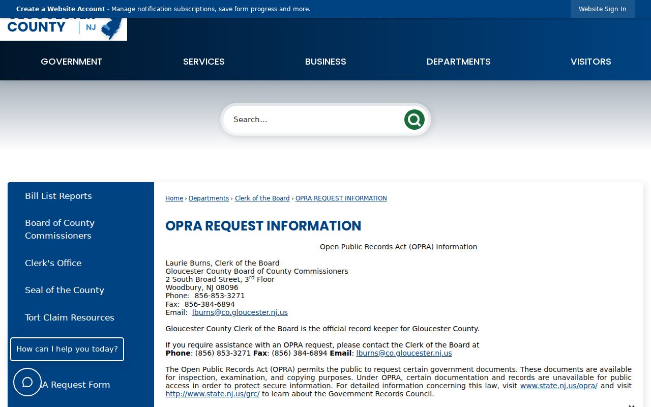
Keep the request, response date, cost authorization, and any redaction explanation with the address research file.
Gloucester County Street Privacy Limits
A street directory cannot establish every person connected to an address. USPS results do not prove occupancy, a mailing address may be outside the county, and a deed proves a conveyance rather than who lives there. Public releases can also omit or redact protected information. New Jersey's Address Confidentiality Program uses a substitute address for eligible participants' future dealings with agencies, and Daniel's Law can suppress covered home addresses and images from government internet records. Describe a protected result as redacted or not displayed, not as proof that no record exists.
When a result appears wrong, ask the custodian about its correction process. Keep the source date and a correction request separate. The useful question is always what a specific record shows, and what it does not show.